
Walk an Algonquin Street Address
An Algonquin street directory search works best as a chain. The parcel card identifies the tax-roll owner and the site's parcel identification number, or PIN. The county map shows where that parcel sits. Recorded deeds then document transfers, while the limited election lookup and historical directory sources may add evidence about people associated with the address. Ownership is not the same as occupancy. A tax bill may go to a trust, company, public body, or owner who lives elsewhere, so keep the site and mailing fields separate.
- Normalize the house number, direction, street name, and suffix. Save the postal city and ZIP as separate fields.
- Search both county property systems until the address resolves. Record the county, PIN, site address, owner, mailing address, subdivision, and tax year.
- Open the same PIN in McHenry Athena or KaneGIS4. Check adjacent parcels, districts, lot geometry, and the map's date.
- Use the PIN, legal description, and owner in the correct recorder index. Follow the purchase deed from grantee back to grantor.
- For a Kane address, use the permitted voter search fields. For older occupants, consult criss-cross directories and local history collections.
This order reduces false matches. A name can repeat, but a PIN and legal description tie the record to land. If the goal changes from a whole street to one named person, use the Algonquin resident lookup for a focused verification trail.
Route Algonquin Streets by County
Algonquin crosses McHenry and Kane counties. That split controls which assessor, GIS viewer, recorder, circuit clerk, and election office keeps a record. The village name by itself is not enough. Confirm the county through a PIN, a tax district, county GIS, or the recorder jurisdiction before following an owner or deed.
McHenry-side searches use McHenry DevNet, Athena, and the McHenry Recorder. Kane-side searches use Kane DevNet, KaneGIS4, and the Kane Recorder. County offices are in Woodstock and Geneva, not Algonquin. An address near the county line may also carry a postal or township label that does not match the village boundary.
Keep five labels in the working notes: site address, mailing address, postal city and ZIP, incorporated municipality, and county. That small habit prevents a postal label from sending an Algonquin street directory search to the wrong custodian.
Search Algonquin Parcel Fields
The county parcel portals expose different controls. McHenry's system is compact and its inspected sample included tax-year links from 1995 through 2026. Kane offers a longer advanced form with sale, district, subdivision, and year criteria. Neither inspected portal exposed a verified ZIP filter.
| Portal field | McHenry | Kane | Use by address |
|---|---|---|---|
| PIN | Text search | With or without dashes | Strongest parcel key |
| Owner name | Available | Available | Current tax-roll owner |
| Street address | Site address | House, street, type, city | Start with normalized parts |
| Tax year | Year links | Range and all-years option | Compare older cards |
| Advanced criteria | Not captured | Township, district, class, subdivision, sales | Narrow a long street |
A McHenry card can include the site, owner and mailing addresses, legal description, acreage, class, exemptions, sales, payments, and taxing bodies. Those fields describe a parcel and tax account. They do not certify that the named owner sleeps at the site.
Note: Search street suffixes and directions consistently, because a loose address string can hide a valid parcel result.
Browse Algonquin Streets in GIS
McHenry Athena has parcel, subdivision, address, owner, and sales tabs. Its map tools include Property Info, Buffer, Tri-View, measure, coordinates, and CSV export. Layers include parcel sales, flood zones, wetlands, Fox waterways, fire districts, topography, and subdivisions. The map helps a researcher walk a street one parcel at a time.
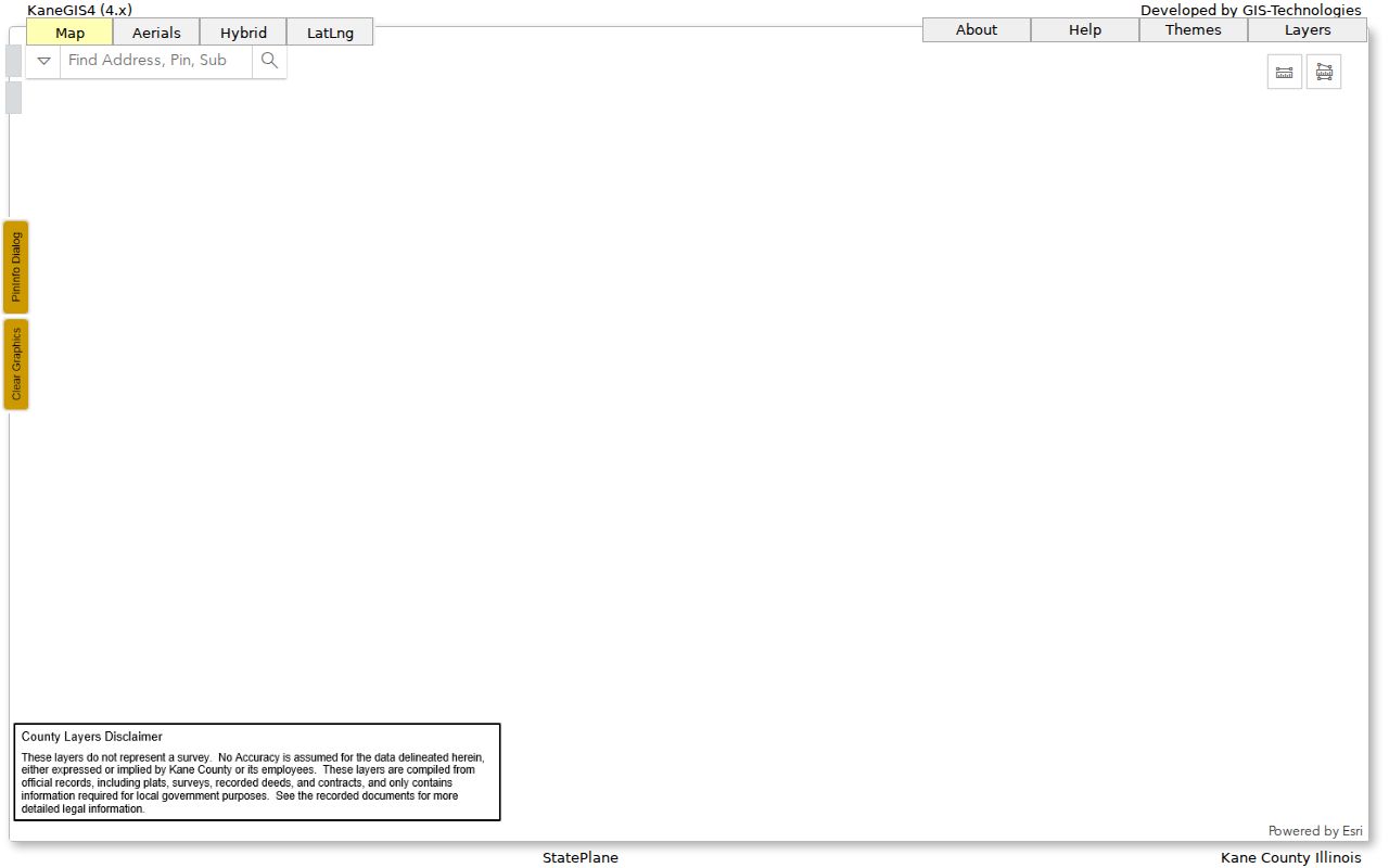
KaneGIS4 supports parcel, address, and subdivision searches, plus PinInfo, TaxMap, TaxCode, aerial imagery, Buffer, print, and KML export. Its documented buffer can form a mailing-address list for parcels inside a chosen radius. That is a parcel-owner workflow, not a current resident roster.
Kane warns that its GIS is not a survey and may differ from assessed area. Treat all mapped lines as navigation aids. For legal dimensions, use the recorded plat or deed. Recent KaneGIS additions include 2024 and 2025 imagery, so note the layer year when comparing a street over time.
The KaneGIS4 street and parcel viewer illustrates the address tools used in a Kane-side search.
Algonquin Street Records Compared
Different address-keyed sources answer different questions. The property card establishes the account and legal parcel. GIS adds location. The recorder documents instruments. Election and directory sources offer narrower evidence about people, subject to access rules and gaps.
| Record Set | Keeper | What It Shows | Access |
|---|---|---|---|
| Parcel and tax card | McHenry or Kane assessment system | Owner, site, mailing, legal description, sales | Free county portal |
| GIS parcel map | McHenry, Kane, or Village GIS | Parcel geometry, neighbors, districts, subdivisions | Free viewer, not a survey |
| Deed and plat index | County Recorder | Transfers, parties, instruments, lot and block | Free search; copy routes vary |
| Voter status | Kane or state election office | Status, precinct, polling place, districts | Limited public lookup |
| Permit or code file | Village of Algonquin | Existing address, permit, inspection, or report records | Document center or defined FOIA request |
| Historical directory | AAPLD, MCHS, Woodstock | Older occupants and street-number context | Library, archive, scan, or staff help |
The PIN ties the tax card to GIS and many land instruments. A legal description remains useful when a modern address is absent from an old deed. For permit and code material, use the Village document center first, then send a focused Illinois FOIA request with address, record type, and date range.
Follow Algonquin Deeds by Street
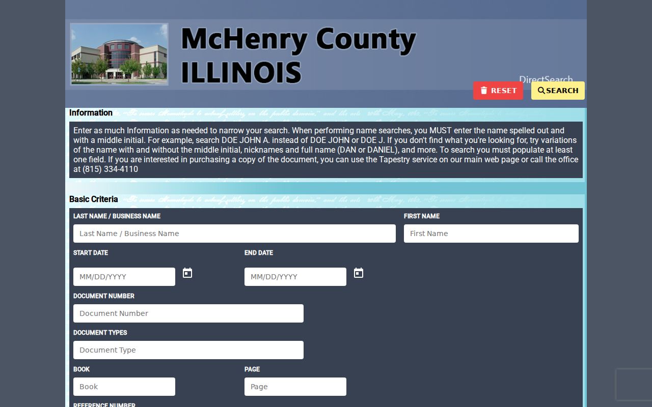
The recorder trail extends much farther back than the tax-card history. McHenry reports its online index and images from 1839 to the present. Kane reports property records from 1837 forward. Old instruments may be indexed under grantor, grantee, legal description, or document number rather than today's street address.
Begin with the current card. Search the buyer, called the grantee, and capture the seller, called the grantor, along with the date, instrument number, and legal description. Then search that seller as an earlier grantee. Repeat while the parcel description remains consistent. Plats, easements, releases, and affidavits may explain a change that a deed alone does not.
The McHenry AVA deed index shows the free search surface for the county's long land-record run.
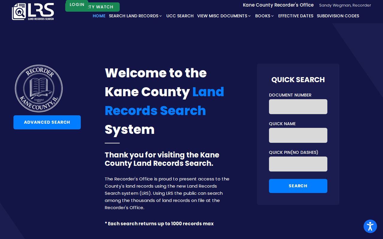
For Kane parcels, the Kane Land Records Search allows no-account searching. Online prints are unofficial, while official copies remain an office service.
Read Algonquin Address Terms
A street directory becomes more reliable when each field is labeled as the custodian labels it. Four terms appear often in Algonquin property research.
- Parcel or PIN
- The county's identifier for a tax parcel, used to join tax, GIS, and land records.
- Situs address
- The physical location of the parcel, distinct from the address where a tax bill is mailed.
- Plat
- A recorded map that defines a subdivision, lots, blocks, and dimensions.
- Criss-cross directory
- A directory arranged by street or telephone number, allowing an address-to-name search.
The McHenry County Historical Society notes a Haines Far North Suburban criss-cross run beginning in 1977, along with a 1929 Sanborn map for Algonquin. Those sources help with past street occupants, but the historical shelf itself belongs on the Algonquin city directory page.
Check Algonquin Voters by Street
The Kane voter search accepts a last name, house number, or street name. Its result concerns registration status, precinct, polling place, voting districts, and a sample ballot. The visible form does not offer date of birth or a ZIP-wide resident export.
McHenry County points voters to the state lookup and offers Clerk contact and FOIA routes for existing election records. Illinois law tightly limits electronic voter-list disclosure. A public lookup should never be presented as a full roll or copied into a street-by-street roster. Protected voters and Address Confidentiality Program participants may also be withheld through special procedures.
Note: Date a voter-status result, since registration and polling assignments can change through routine list maintenance.
Request Algonquin Files by Address
Algonquin building activity appears in monthly reports and document-center records, not in a verified live parcel permit database. Search the Village departments and document center first. When the needed permit, inspection, or code file is not posted, describe the address, record type, and date range in a Village public-records request.
A narrow request helps the custodian locate an existing file. Illinois FOIA ordinarily calls for a response within five business days and permits a further five-business-day extension in defined cases. It does not require the Village to create an address roster or answer a research question. Ask for named records rather than “everything about the street.”
Algonquin Street Records Run Deep
Algonquin's two recorder systems provide an unusually long online starting point. Kane land records reach to 1837 and McHenry to 1839. That depth does not mean each early image is online, nor that a modern street number appears in each index. Legal descriptions, subdivision names, and party searches still matter.
On the McHenry side, a sampled civic parcel exposed tax-year links from 1995 through 2026 and a plat-document reference. In Kane, tax records are described as available back to 2004. These dates define the inspected electronic entry points, not the age of the land itself.
Kane moved its Recorder land system to a cloud-enabled model in July 2025, while KaneGIS added newer aerial and topographic layers. Portal layouts and image links can shift after such changes, so preserve the record's PIN, instrument number, date, and source rather than relying on a saved screen alone.
Limits of Algonquin Street Records
No Algonquin street directory is a complete list of occupants. A deed shows an ownership transaction. A parcel card names the tax-roll owner and a bill destination. GIS maps land. A voter lookup gives narrow election facts for an eligible query. None proves every adult, child, relative, guest, or former occupant at an address.
Public gaps are real. Research found no official street export of current voters, no complete address-keyed municipal permit or code index, no public umbrella directory of associations, and no verified ZIP filter in the county parcel portals. A defined records request may locate an existing public file, but it cannot turn those separate systems into a household list.
Lawful use. Use Algonquin address records for lawful personal research, property history, or civic questions. Never use a street search to stalk, harass, threaten, or expose protected contact details.
Verify a material conclusion with the office that keeps the record. For a boundary, obtain the recorded instrument. For a certified transaction record, order the proper copy. For an old occupant, compare directory evidence with dated deeds, census material, or newspapers instead of treating one entry as final.