
Sources for Algonquin Neighbors
Define “neighbor” before searching. It can mean an owner of a touching parcel, an owner inside a chosen radius, or a participant in a named community program. These are different ties. For Algonquin neighbors, county GIS and assessor data are the best first pair, while a recorder plat tests the legal lot and subdivision.
| Source | What It Shows About a Block | Access |
|---|---|---|
| McHenry Athena or KaneGIS4 | Parcel shape, adjoining PINs, streets, and subdivision layers | Free public viewer |
| McHenry or Kane DevNet | Owner, site, mailing, assessment, and tax fields | Free parcel portal |
| Recorder plat or deed | Recorded lot, block, legal description, and declaration | Web index, office, copies |
| Village subdivision layers | Named neighborhood geography | Public ArcGIS service |
| Neighborhood program | Program area, not a complete resident list | Village request when appropriate |
A tax owner can be a person, trust, company, or public body. The mailing address may be off site. Treat ownership as ownership, not proof of occupancy. For a full road instead of a few nearby lots, follow the Algonquin street directory workflow.
Map an Algonquin Neighbor Block
Start with the exact site address and determine whether it is in McHenry or Kane County. The McHenry Athena viewer and KaneGIS4 connect map geometry with parcel identifiers. Save the layer date and PIN for each selected lot because boundary graphics are navigation aids, not surveys.
- Locate the full address in the correct county GIS and confirm the starting PIN.
- Click each parcel that touches the lot, then note its PIN and site address.
- Open each PIN in DevNet and label owner, mailing address, and site address separately.
- Check the recorder plat or legal description before treating a map line as the recorded boundary.
This creates a small, auditable group of adjacent parcels. It does not prove every occupant, family tie, or current contact. Notes should state which result came from GIS, the assessor card, or the recorder.
Radius Tools for Algonquin Neighbors
KaneGIS4 adds a radius method. After selecting a parcel with PinInfo, the Kane Buffer instructions explain how to enter a distance in feet. The result can create a list of mailing addresses for parcels within that radius. Those addresses can then lead back to the PIN and assessor record.
The official instructions below show the parcel-buffer workflow assigned to this Algonquin neighbors search.
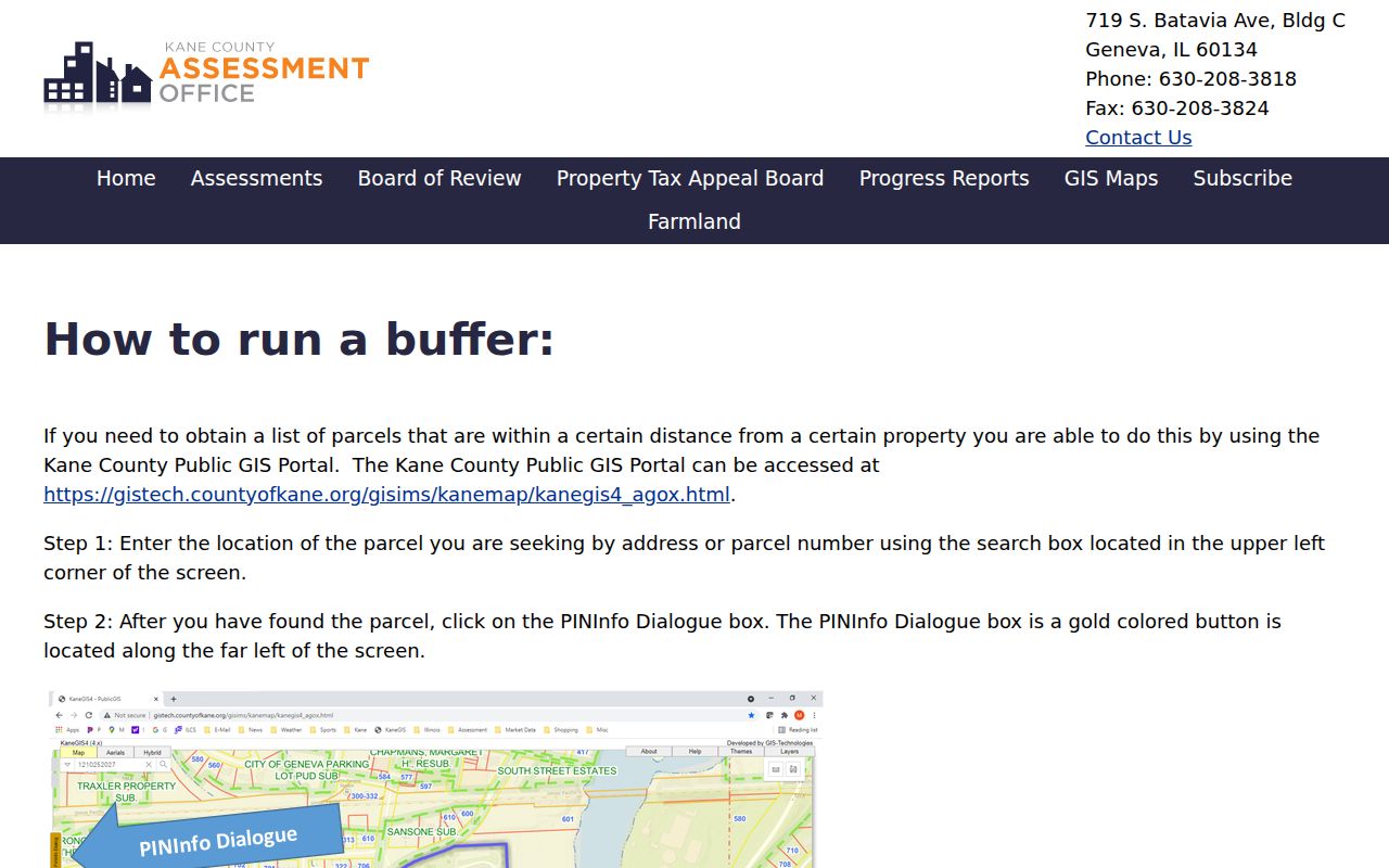
A buffer helps on a curved road, cul-de-sac, or corner where “next door” is unclear. Its mailing list still represents parcel records, not a certified list of residents.
Read Algonquin Subdivision Layers
The Village ReferenceMap legend identifies Algonquin Original Town, Algonquin Lakes, Algonquin Hills, Willoughby Farms, Glenmoor, Stone Ridge, Creekside, and other named areas. A subdivision label can direct a recorder search toward a declaration, plat, covenant, or association instrument. It does not prove that an association exists now or that each parcel is a member.
The village subdivision legend below is the successful manifest image for this part of the Algonquin neighbors search.
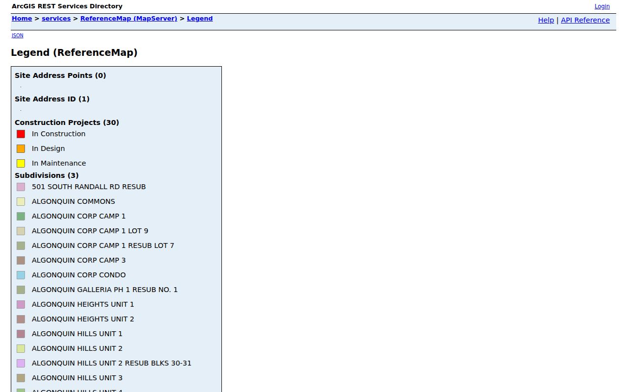
Use the neighborhood name as a recorder search term, then confirm the instrument number, date, and legal description.
Willoughby Farms Record Trail
Willoughby Farms gives a concrete example. A Village agreement documents the Willoughby Farms Estates Neighborhood Association. Its declaration was recorded in Kane County on October 27, 1997 as document 97K073139. That number is a precise recorder key and stronger evidence than an assumed association based on a map label.
| Named group | Willoughby Farms Estates Neighborhood Association |
|---|---|
| Recorded document | 97K073139 |
| Recording date | October 27, 1997 |
| Official routes | Village agreement and Kane County Recorder |
No complete public umbrella list for all Algonquin associations was found. For another subdivision, ask the Village Clerk for an existing agreement, search recorder declarations by subdivision, or consult the library for older local material. Do not infer officers, members, or current contacts.
Algonquin Watch Geography, Not Contacts
The Village PublicSafetyMap includes a Neighborhood Watch Groups layer. The researched service returned 136 features and exposed a schema with group and resident contact fields. That makes it useful local evidence and a clear privacy test.
The successful image below shows the official Village service assigned to the Algonquin neighbors page.
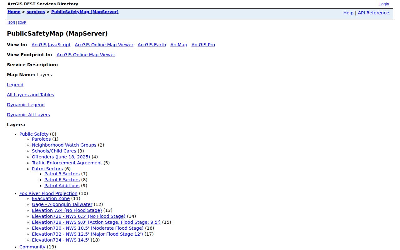
Use only program geography and the existence of a group. Do not reproduce names, phones, emails, or exact private addresses. A watch group does not establish parcel ownership or residence.
Compare Algonquin Neighbor Sources
Official rolls and commercial neighbor tools answer different questions. The official route takes more steps, but it shows the custodian, field label, date, and legal limit. Commercial compilations can merge old addresses and same-name people without showing the source.
| Source type | Strength | Limit |
|---|---|---|
| County GIS and assessor | Parcel geometry and tax-owner fields | Owner is not always occupant |
| Recorder plat or declaration | Recorded legal instrument | May require an office copy |
| Village program layer | Local program geography | Not a household directory |
| Commercial compilation | Broad aggregation | Source, date, and matching may be unclear |
Keep a citation to the official layer or record and save the access date. If a portal fails, use the county office, recorder copy route, Village public-records portal, library, or a defined FOIA request.
Confirm Algonquin Blocks With Plats
A county GIS line is an efficient way to select nearby lots, but Kane County warns that its map is not a survey. Recorded documents provide the legal detail. Once the nearby PINs are known, open the McHenry Recorder AVA search or Kane Land Records Search and look for the deed, subdivision plat, declaration, or later instrument tied to the same legal description.
Write down the subdivision, lot and block, document number, recording date, and grantor or grantee role. A grantor transfers an interest and a grantee receives it. These fields can explain why two lots that seem adjacent on screen are governed by different plats or declarations. Office computers and copy requests remain available when an online index does not show the needed image.
Algonquin's county line can also change the recorder, tax system, and judicial district within a short distance. Route each parcel on its own instead of assuming the entire visual block is in one county. The Village ReferenceMap helps with municipal and subdivision context, but the county recorder remains the source for a recorded instrument.
Note: Preserve the exact site, mailing, subdivision, PIN, and legal-description labels because each describes a different part of the neighbor record.
Privacy Limits for Algonquin Neighbors
The public voter lookup is not a street roster. Illinois Election Code limits electronic voter-file disclosure and use. A GIS buffer can return trusts, entities, public bodies, or off-site mailing addresses. Parcel lines can also be stale or approximate. Keep these limits attached to the result.
Lawful use. Research Algonquin neighbors only for a legitimate personal or civic purpose. Never use parcel, voter, or program data to stalk, harass, intimidate, or endanger someone.
The Illinois Address Confidentiality Program supplies qualifying survivors with a substitute address and protected voter process. It cannot erase old records or guarantee property-record confidentiality. If a source indicates protection, do not try to work around it.
Keep the output modest: parcel ID, source, date, owner field as labeled, and recorded subdivision context. Leave personal contacts out. This preserves the useful block picture without turning public infrastructure into a contact list.