
Algonquin Previous Residents by Era
An address history has two tracks. Recorded deeds identify titled owners, while directories and census schedules identify households. The right starting record depends on the period and county. Algonquin parcels lie in McHenry and Kane, so confirm the parcel jurisdiction before searching.
| Source | Years It Covers | Where Held | What It Shows |
|---|---|---|---|
| McHenry recorded instruments | 1839-current | Recorder AVA/Laredo and office | Deeds, legal descriptions, and parties |
| Kane recorded instruments | 1837-current | Kane Land Search and office | Deed chain, plats, and instruments |
| County directories | 1877, 1885, 1892 | MCHS and archives | Resident, place, and civic clues |
| Local and reverse directories | 1916 onward with gaps; Haines 1977-forward | MCHS | Occupants linked to addresses |
| Algonquin Sanborn map | 1929 | MCHS copies | Building footprint and street context |
| Federal census | Selected 1840-1930 schedules | MCHS, AAPLD, NARA, databases | Households, age, birthplace, and place |
| Local newspapers | Early 1830s abstracts; 1966-forward runs | MCHS and AAPLD | Notices, deaths, addresses, and events |
| Village permit reports | Monthly reports including 2024-2025 | Village document center | Building activity, when an address is named |
Start with the newest reliable source and work backward. Do not jump from a current tax name to an old directory entry without matching the parcel, date, and address form.
Anchor an Algonquin Parcel First
Enter the current address in McHenry DevNet and Athena or in Kane DevNet and KaneGIS4. Capture the PIN, subdivision, lot and block, legal description, parcel shape, current owner, mailing address, and situs address. Situs means the physical location of the parcel. A mailing address only shows where notices were sent.
Save each spelling, direction, and street-type abbreviation. The same road may appear differently in a deed index, tax card, and directory. A subdivision name can remain stable when the street number does not. McHenry PINs may appear with or without dashes. KaneGIS history also notes a leading-zero correction, so preserve both displayed forms when searching.
Ownership and occupancy are separate. A trust, estate, public body, or company may hold title. A person in a reverse directory may have lived there without owning the land. A second record should support every claim about previous residents.
Trace Algonquin Owners Through Deeds
The McHenry AVA/Laredo index offers the McHenry route, while Kane Land Search serves the Kane side. McHenry documents and images are reported from 1839 to the present. Kane reports records from 1837 to the present. When a dynamic web form fails, both recorder offices remain access channels; Kane lists six public research computers.
- Find the present owner and legal description on the county parcel card.
- Search that owner as grantee, the buyer, within a recent date window.
- Open the purchase deed and record its grantor, grantee, document number, date, and legal description.
- Search the seller as an earlier grantee, keeping the same lot, subdivision, or tract.
- Repeat backward. Move to office books, microfilm, copy requests, or IRAD when an image or older index is absent.
A mortgage or release can mark a period, but it is not a transfer deed. Recording date can also follow execution date. Match the legal description at every link instead of trusting the street number alone.
- Grantor and grantee
- The grantor transfers an interest; the grantee receives it.
- Chain of title
- The linked sequence of recorded transfers for the same parcel.
- Legal description
- The formal lot, block, subdivision, tract, or survey wording that identifies land.
Two Algonquin Deed Paths
The McHenry Recorder is at 2200 North Seminary Avenue in Woodstock and lists phone 815-334-4110, with posted hours from 8:00 a.m. to 4:30 p.m. Its public documentation confirms searches by name, parcel, address, and document. Free AVA is the first online route. Tapestry is a separate paid search option, and a defined FOIA request is another fallback.
The Kane Recorder is at 719 South Batavia Avenue, Building C, in Geneva. Its phone is 630-232-5935. Posted research hours run from 8:30 a.m. to 4:30 p.m., with earlier cutoffs for plats and documents. Ordinary land search is described as free and accountless. Printed web copies are unofficial; request certification from the office when a certified record is truly needed.
Note: Neither recorder performs a title search for the researcher; the index is a route to documents, not a legal opinion.
Algonquin House History at MCHS
The MCHS property-research method is the strongest local house-history route identified. It pairs the parcel card and deed chain with directories, Sanborn maps, census schedules, newspapers, and permit material. Its Haines Far North Suburban Criss-Cross collection begins in 1977 and supports address-to-occupant research.
The manifest image uses the successful MCHS countywide resources page, which provides access to early county directories and resident material.
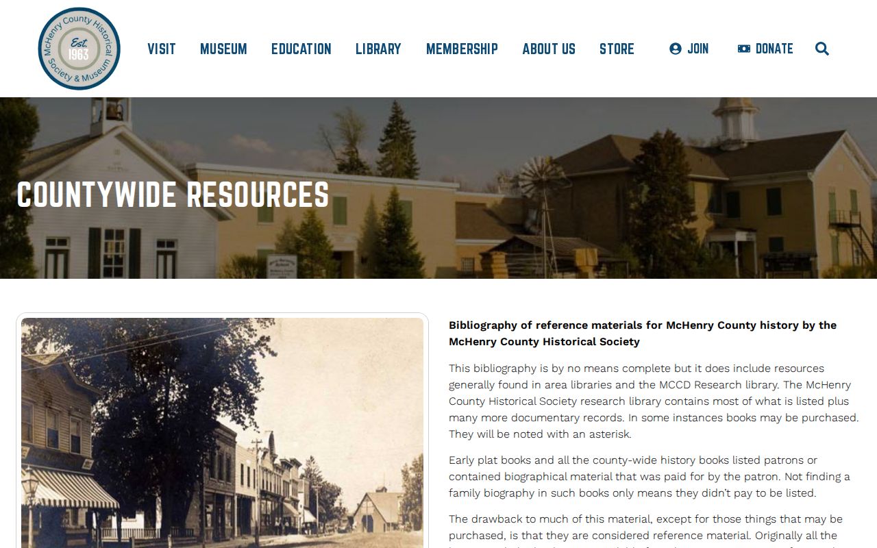
Those county sources extend the trail before the local reverse-directory era, but township and village headings must be checked carefully.
The 1929 Algonquin Map Bridge
The 1929 Algonquin Sanborn map supplies a building footprint, old street grid, and land-use context. Compare the sheet with the legal description and current parcel geometry. The map can show that a structure existed by that date or that the block looked different, but it cannot prove who held title or who slept there.
No verified Algonquin street-renumbering schedule was located. Bridge address changes with recorded plats, lot and block, historical street spelling, directory cross-references, GIS history, and the legal description. Older searches should test Cornish's Ferry, Osceola, Algonquin Township, Fox River, and nearby post-office labels.
The absence of a modern address in an early source is normal. Algonquin was laid out around 1836 and incorporated in 1890. Earlier descriptions may rely on township, river, owner, or tract language.
Match Algonquin Past Households
Deeds identify ownership, not all previous residents. Reverse directories name the printed occupant by address. Conventional directories tend to begin with a surname. Census schedules show periodic households. Pairing them gives a more reliable history than any one list.
- Find the address in a Haines criss-cross volume from 1977 forward.
- Record the occupant exactly and check the volume before and after it.
- Move backward through available regional directories, keeping a gap log.
- Match 1900, 1910, 1920, or 1930 census schedules by household and place.
- Confirm changes with deeds, newspapers, obituaries, cemetery records, or probate files.
The collections and how to read them are treated in the Algonquin city directory. On the backward address trail, the key task is matching each dated household clue to the same parcel. A directory absence can mean a move, death, missed issue, name variation, or an unlisted household.
Use records lawfully. House and family history are legitimate aims. Never use address findings to track, threaten, or harass a living person.
Algonquin Permits Need a Request
The Village building-activity page lists monthly reports, with 2024 and 2025 examples seen during research. No complete live address-keyed permit or code-case search was located. Search the reports first. Then submit a targeted request through the Village FOIA procedure, NextRequest, email, fax, mail, or in person.
A useful request names the street address, record type, and date range. Ask for disclosable permit history, inspection records, or code-case material. Do not assume utility providers will release old customer names. Public utility customer histories were not found, and privacy exemptions may apply.
The captured Village document-center page shows the building-report browse route.
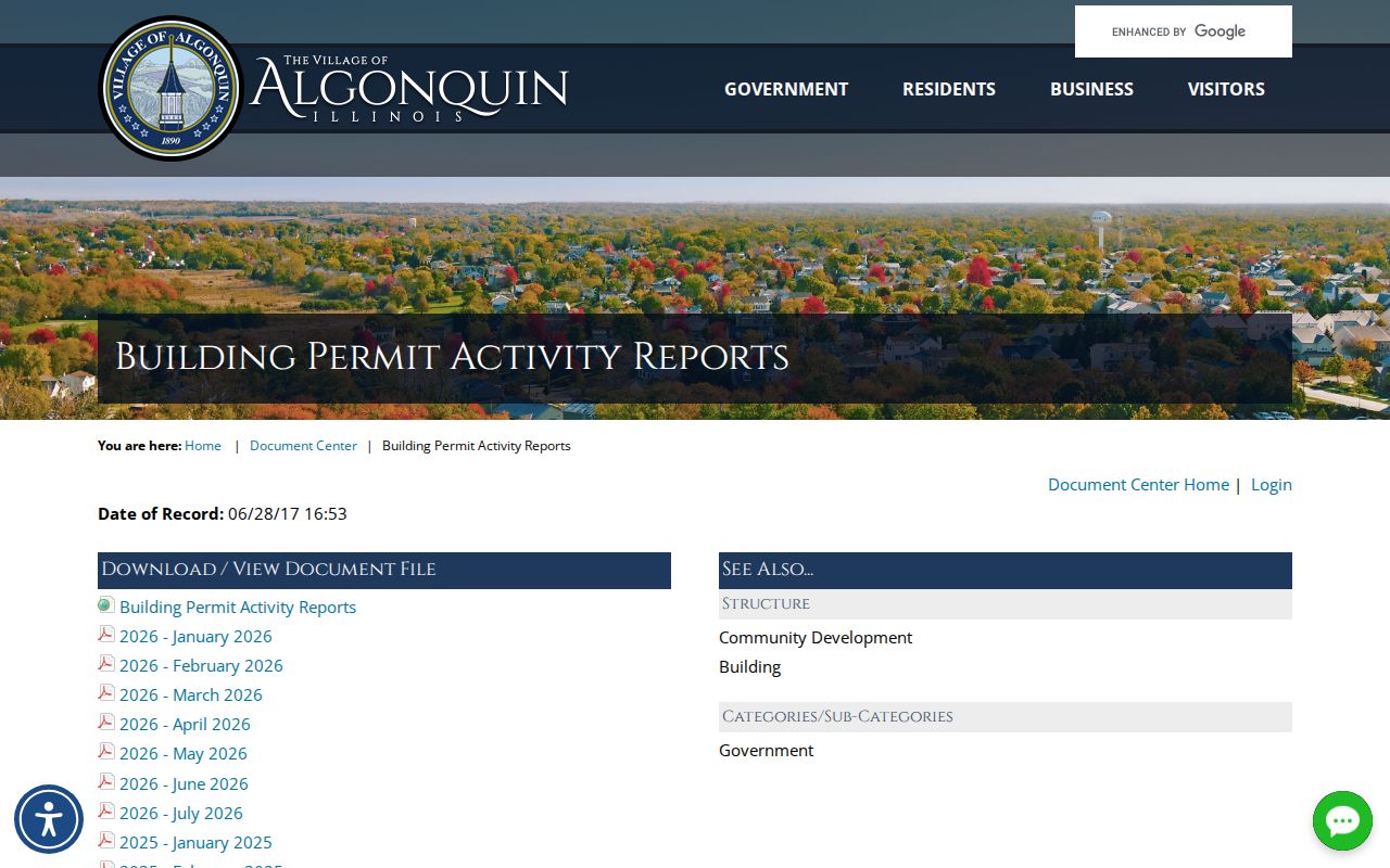
Monthly reports can date work on a property, but a permit applicant or owner field still does not prove household occupancy.
Algonquin Digital Memory Adds Context
The Illinois Digital Archives Algonquin collection includes local books, pamphlets, maps, photographs, and history pages supplied through AAPLD. The 1935 history drew from family records, an old Bible, atlases, histories, and government records. That source map can send a surname into newspapers, deeds, and cemetery records.
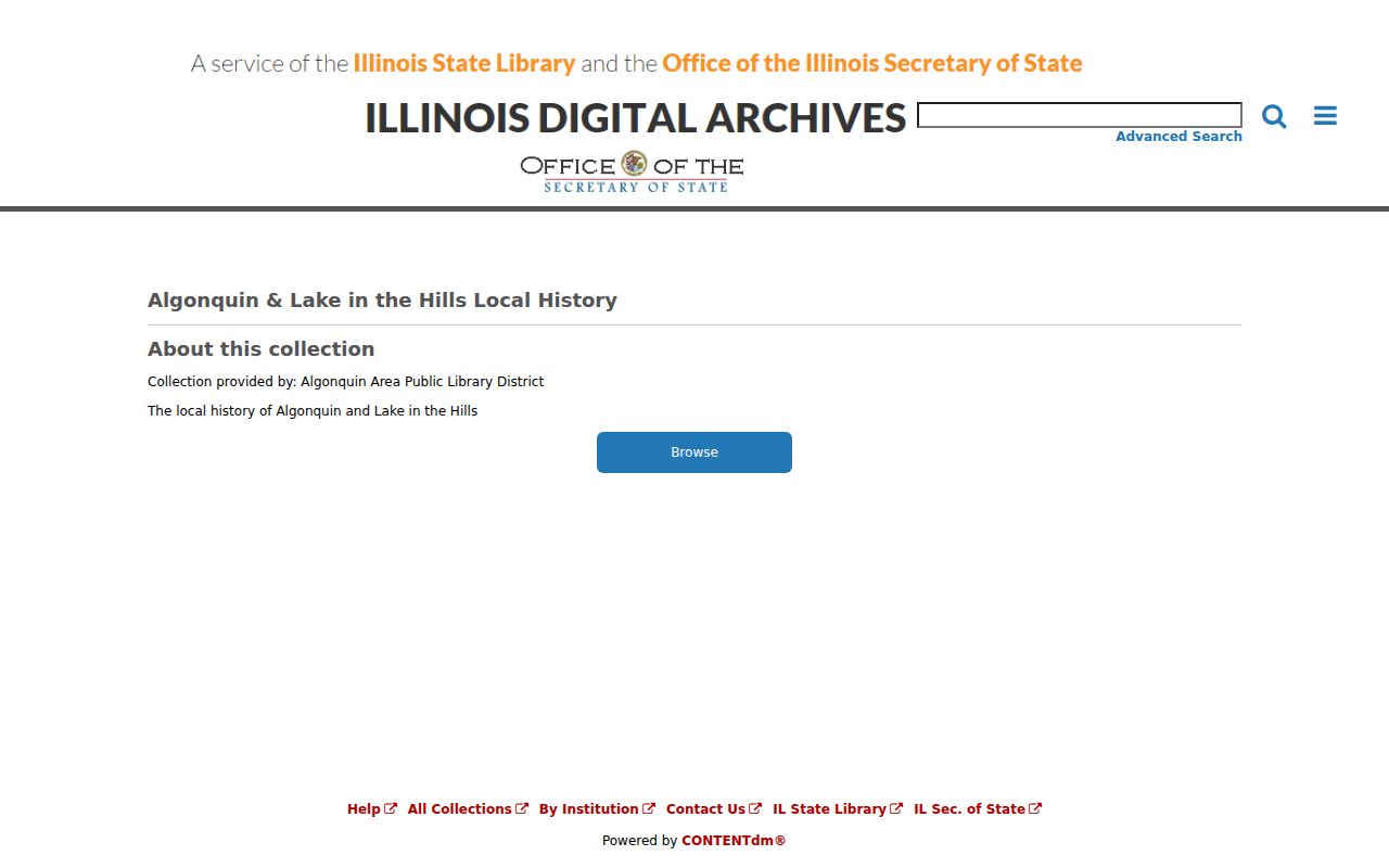
The scans add names and place context, but a local narrative is selective. Confirm a person and address with a dated primary record.
A valuable caution comes from McHenry's 1837-1848 commissioners' journal. The leather-bound volume resurfaced in 2010 after private custody and returned to the Recorder. A catalog gap is not proof that a record was destroyed. Kane's 1857 courthouse did burn in March 1890, but that fact does not prove every Kane record vanished. Check the exact record group and custodian.
Confirm Algonquin Previous Residents
Newspapers, obituaries, cemetery records, and probate cases can close a household trail. Search the Algonquin History Events Database and the incomplete obituary index by full name, spouse, relative, address, and cemetery. Verify an abstract with the newspaper image. An obituary may supply a last address or family link, but it can omit facts or repeat an error.
Probate files may identify a decedent, fiduciary, claimant, attorney, case number, filings, and disposition. A filing address is not always the decedent's final physical home. The municipal cemetery GIS adds grave, block, lot, crypt, and occupant-last-name fields, though no complete public human-facing interment search was located.
Grade each conclusion. A deed plus legal description is strong for title. A parcel card is a current or tax clue. A directory or newspaper is a dated association. An unverified index hit remains only a lead. This discipline keeps previous residents separate from previous owners and makes the final address history honest about its gaps.